Developing a Better
GIS solutions
Powerful mapping and spatial analysis built on the Esri ArcGIS Platform.
Turning spatial data into smarter decisions across every domain.


Powerful mapping and spatial analysis built on the Esri ArcGIS Platform.
Turning spatial data into smarter decisions across every domain.
Solution and development with ESRI & OpenLayers
Solution and development with ESRI & Open Layers
Cutting-edge AI Solutions for your business needs
Dedicating support and resource provide services
About
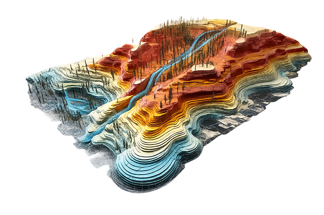
Geospatial technology fuses databases with the methods and resources needed to identify, measure, monitor, assess and predictively model real-world phenomena. By leveraging geographical and locational data, this intelligence delivers value across diverse sectors.
We provide a full spectrum of services built on the Esri ArcGIS Platform. We integrate location-based intelligence with spatial datasets to deliver tailored solutions across Energy & Utility, Natural Resource Management, Urban and Rural Development, Navigation and Mapping, GIS Development, and Products & Solutions. Our inclusive, cost-efficient and inventive digital solutions operate within a framework that bridges academia, industry and policymakers — backed by unparalleled experience and the trust of our esteemed customers.
Our Solutions
We build solutions on the ArcGIS Platform that turn spatial data into actionable insight — spanning utilities, natural resources, urban development, and beyond.
Visualize, manage, and analyze spatial data with mapping, analytics, and location intelligence built on Esri ArcGIS.
Optimize infrastructure and asset management across electric, gas, telecom, water, and wastewater networks.
Monitor land, agriculture, forests, and biodiversity using GIS and remote sensing for sustainable management.
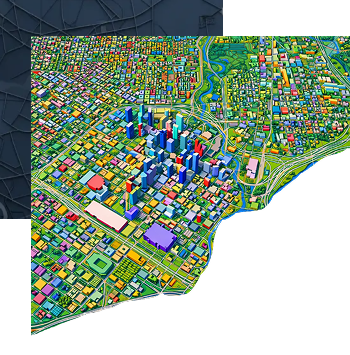
Plan smarter, more resilient cities with infrastructure mapping, mobility analysis, and digital twins.
Accurate, AI-powered mapping for route planning, network analysis, and location-based services.
Scalable web, mobile, and enterprise GIS apps with cloud deployment on AWS and Azure.